
Minnesota’s Most Detailed Forecast: December 21, 2025
Today
This morning at 9:03 a.m. cst officially marks the Winter Solstice (First Day of Winter), meaning tomorrow, December 22nd, will be the shortest amount of daylight of the year. According to the NOAA GMI Sunrise/Sunset Calculator. Today’s sunset in Minneapolis is 4:34 p.m. CST. After today, we will start to gain daylight in increments.
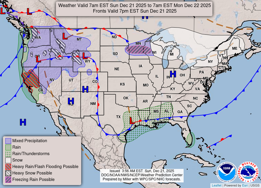
For your Sunday, we will see an afternoon high of around 25 degrees with South southeast wind around 5 miles per hour. Overnight tonight, we will see a low of around 21 degrees. Around 2 a.m., there is a chance of snow and sleet, which could create some slick spots for the morning commute. We will also see increasing clouds and a warm front move through the region.
Twin-Cities Almanac:
The record for high temperature set back in 1899 was 45 degrees. The lowest temperature for the region was set back in 1931, at 33 degrees.
The highest recorded snowfall total for the region was set back in 1911 at 6 inches. The lowest snowfall total was set back in 2024 at 0 inches.
This Week
Since my last forecast, there hasn’t been much of a shift in the forecast. With this big-time warmup making its way through the state, we will still remain above average through the week. The only real thing of note is that there looks to be a storm system developing up north near the Arrowhead region on Christmas Day. The models are aligning for some potential heavy snow around International Falls.
The Holidays
For Christmas Eve, the daytime high will be around 37 degrees, and on Christmas Day, the daytime high will be around 37 degrees. We will see mostly cloudy skies before starting to clear out on Saturday. Other than far Northern Minnesota on Christmas Day with their chance of snow, there should be no travel impacts for the rest of the state.