
Stormy start to the week, and the heat and humidity continue.
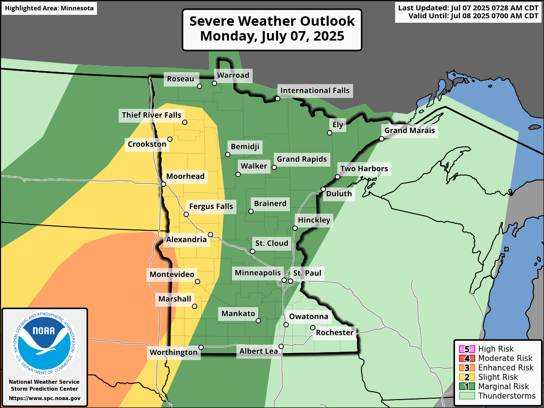
As we continue moving along in the beginning parts of July, the chance of severe weather across the Upper Midwest persist along with the continued heat and humidity. Monday, July 7th brings a Slight Risk (Level 2 out of 5) across portions of West Central Minnesota while a Marginal Risk (Level 1 out of 5) for severe weather across cabin country and into the Twin Cities. The primary threats for this early week system will be heavy rain and damaging winds. The greater hazards out west will be large hail and a couple of isolated tornadoes can’t be ruled out.
As we go through the rest of this week, we will see afternoon highs mostly in the low to upper 80s with high dewpoints until our next round of storms moves in late Thursday night into the day on Friday. I am tracking the possibility for severe weather later this week and will provide updates as the models become more clear.