Severe Storms and Heat Returns

After a consistent amount of rain and some areas seeing 4 plus inches across Minnesota over the last couple of days, we finally had the chance to dry out throughout the day on Friday. However, that is all going to change as the heat and humidity return for the weekend. Parts of extreme Western Minnesota on Friday are under a Slight Risk (level 2 out of 5) for severe weather. For Central North and South Dakota, the primary threats are a couple of tornadoes, large hail, and damaging winds as they are under a Moderate Risk (3 out of 5) for severe weather. For Western Minnesota, the primary threats are large hail and damaging winds.
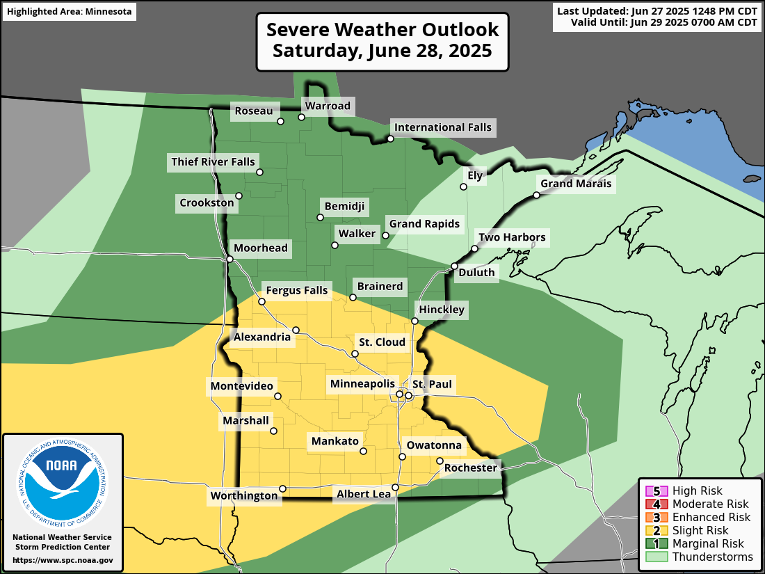
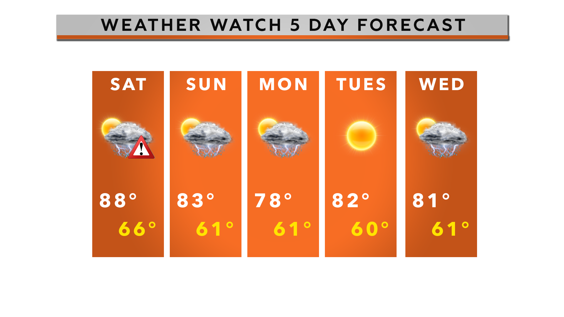
The threat for severe weather continues as the warm front moves into Central Minnesota, sets up overnight, and we can expect an MCS (multi-cluster storm system) to move through between 2 am and 6 am. Saturday’s Slight Risk (level 2 out of 5) for severe weather is entirely conditional. All hazards are on the table for a couple of tornadoes, large hail, and damaging winds. The timing for these storms looks to be between 5:00 pm and 10:00 pm.
The main reason behind Saturday’s risk for severe weather is the high level of humidity, which is up near 80 degrees, and the atmosphere overall being unstable, and a great deal of CAP in place.
Looking ahead to the rest of the week, we will stay warm as we will remain in the low to mid-80s with mostly sunny skies. The humidity also doesn’t appear to be going away anytime soon.